Displays relevant listing Item Posts automatically based on the current page.
Examples of usage:
- on Search Results page are displayed only Item Posts appropriate to the search keyword, category or location
- on Item Category page are displayed only Item Posts appropriate to the currently opened Item Category page
- on Item Location page are displayed only Item Posts appropriate to the currently opened Item Location page
- on Item Detail page is displayed only currently opened Item Post
Block settings in sidebar
From the sidebar settings of the block, you can select the provider of the map. Available in the selection between Google Maps and OpenStreetMaps. It’s up to you which one is preferred for your website.
In addition are available options:
- show the search form in the map
- define if Item markers or also GPX Tracks are displayed on the map
- select color theme for your map under Appearance tab – read more about available color themes
Markers and tracks on the map
Using option “Show on a map” you can select from three options to decide what will be displayed on your map:
- Markers – displayed are standard map markers related to Item Posts
- GPX Tracks – displayed are all Item posts which have uploaded GPX track file, instead of markers are rendered related tracks
- Markers & GPX Tracks – resulting map is combination of standard map markers and rendered tracks. Item posts which doesn’t have uploaded GPX file are on the map presented with standard map marker, posts with uploaded GPX file are presented using track
On Item Detail special page isn’t available option to select if marker or track related to Item Post is displayed on map. Map automatically shows track if GPX file was uploaded for post, otherwise standard map marker is visible.
For tracks rendered on the map are available additional options:
- Dynamic track visibility – if turned on the track is visible on the map only if it’s not too much small according to current map zoom. With zoom in is the track automatically rendered on the map. If map is too much zoomed out, track is automatically replaced with marker. After click on marker map zoom to fit the track to map.
- Track color – color of all tracks on the map can be the same, set up the color of track
- Track endpoints color – defines the color of start and end points of the track
Custom height settings
The height of the map can be customized in px, vw and vh units. In case when the map block is inserted inside the WordPress Column block, option Cover Height can be enabled which fits the map height to the height of the column itself.
Note that height value for the map is recommended height, the minimal height of map may differ due to needs of the content displayed in the map (ie. Search Form Block inside the map).
Empty map settings
In a situation when there is nothing to show on the map, you can decide what to do with an empty map. Available are options to show empty map focused to the whole world, optionally covered with custom information text, or remove a map from the page at all.
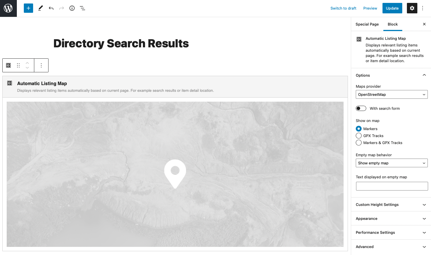
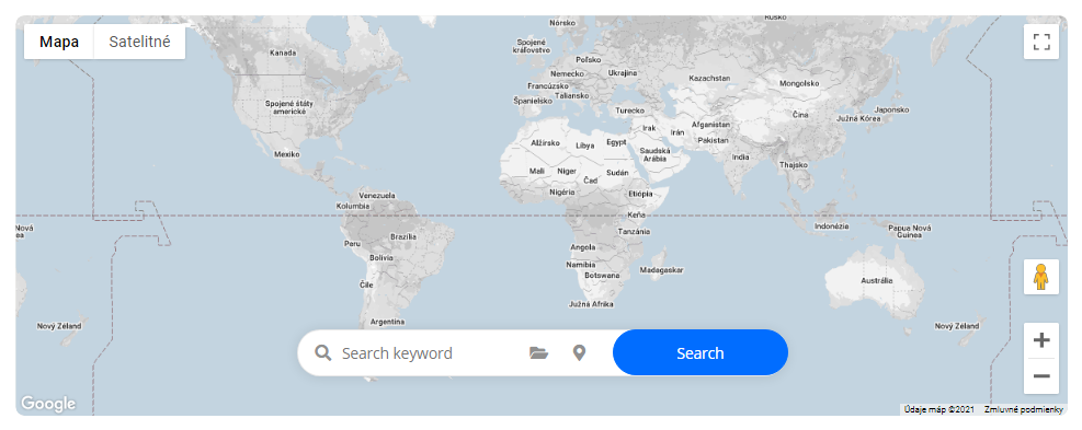
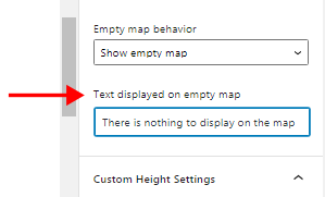
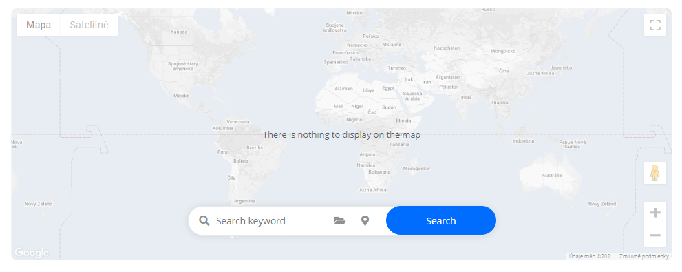
Table of Contents