Inhoudsopgave
Displays listing Item Posts on a map based on filters available in block settings. You can select from which Category or Location will be listed Item Posts on the map and decide if only featured posts will be shown.
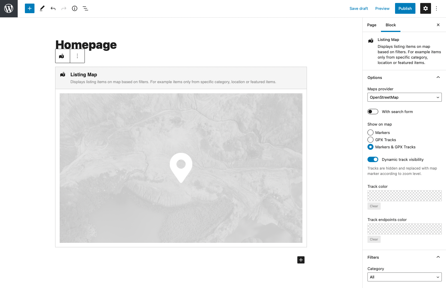
Blokkeer instellingen in zijbalk
From the sidebar settings of the block, you can select the provider of the map. Available in the selection between Google Maps and OpenStreetMaps. It’s up to you which one is preferred for your website.
In addition are available options:
- show the search form in the map
- using Filters settings select Category and Locations to show only particular Item Posts
- show only Item Posts marked as Featured
- define if Item markers or also GPX Tracks are displayed on the map
- select color theme for your map under Appearance tab – read more about available kleurenthema's
Markers and tracks on the map
Using option “Show on a map” you can select from three options to decide what will be displayed on your map:
- Markers – displayed are standard map markers related to Item Posts
- GPX Tracks – displayed are all Item posts which have uploaded GPX track file, instead of markers are rendered related tracks
- Markers & GPX Tracks – resulting map is combination of standard map markers and rendered tracks. Item posts which doesn’t have uploaded GPX file are on the map presented with standard map marker, posts with uploaded GPX file are presented using track
For tracks rendered on the map are available additional options:
- Dynamic track visibility – if turned on the track is visible on the map only if it’s not too much small according to current map zoom. With zoom in is the track automatically rendered on the map. If map is too much zoomed out, track is automatically replaced with marker. After click on marker map zoom to fit the track to map.
- Track color – color of all tracks on the map can be the same, set up the color of track
- Track endpoints color – defines the color of start and end points of the track
Aangepaste hoogte-instellingen
De hoogte van de kaart kan worden aangepast in px, vw en vh eenheden. In het geval dat het kaartblok wordt ingevoegd in het WordPress Kolomblok, kan de optie Afdekhoogte worden ingeschakeld die de hoogte van de kaart aanpast aan de hoogte van de kolom zelf.
Merk op dat de hoogtewaarde voor de kaart de aanbevolen hoogte is. De minimale hoogte van de kaart kan afwijken als gevolg van de behoeften van de inhoud die in de kaart wordt weergegeven (bijv. Zoekformulierblok in de kaart).